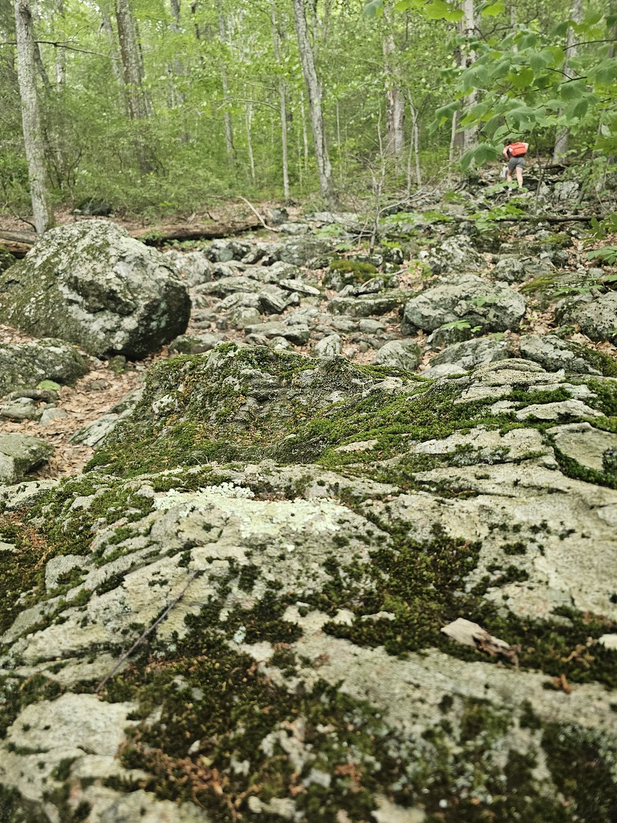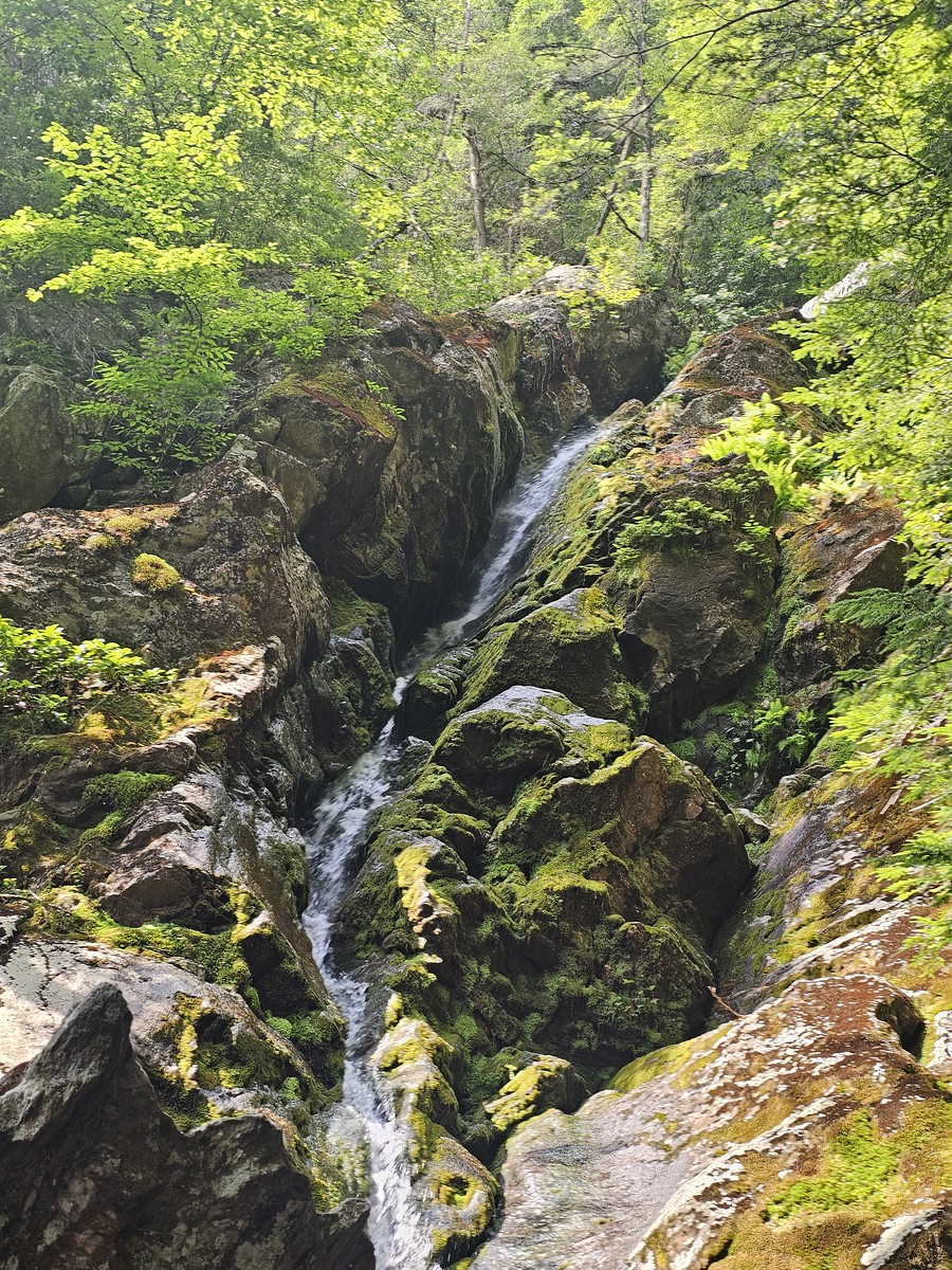
The adventure started the day before when my little sister asked, “Hey, do you want to go for a hike tomorrow?” Of course I said yes. Race Brook Falls has been one of her favorite hikes for a long time, but I hadn’t been there since my Boy Scout days – we’re talking many years ago.
What I didn’t remember was just how much this trail would kick my butt.
Starting Out: Don’t Let the Parking Fool You
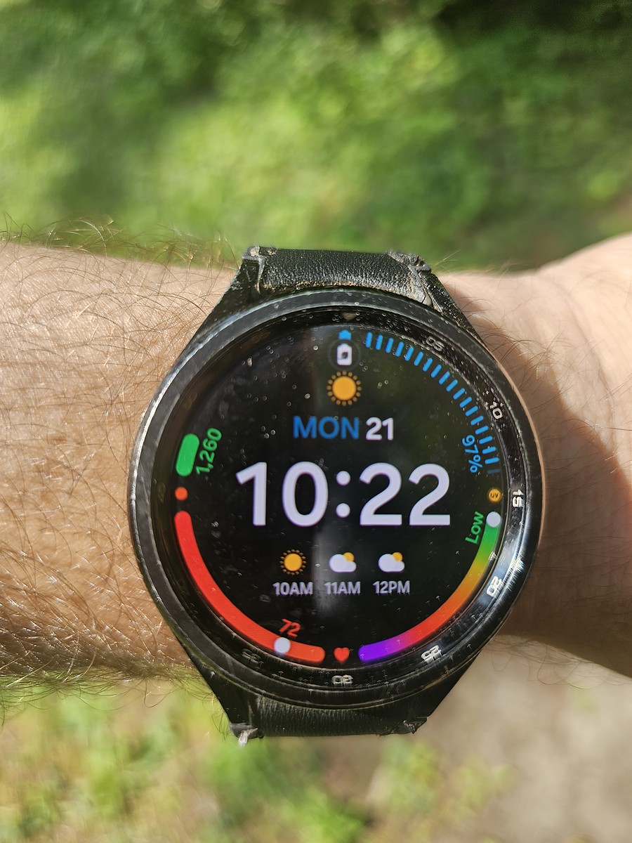
We arrived at the unassuming trailhead at 10:22 AM, and I started my watch at 1,260 steps. Looking at that modest parking area, you don’t realize what’s ahead when you start off. You’ve got maybe about a mile or so of straight-up climbing waiting for you.
Let me be clear: the Race Brook Falls hike is not for the faint of heart or someone who wants a casual stroll. This is definitely a moderate to strenuous hike that will push you. We went on a nice July morning, and while it was cool enough under the shade of the trees, I can imagine this being a brutal traverse in high humidity and heat.
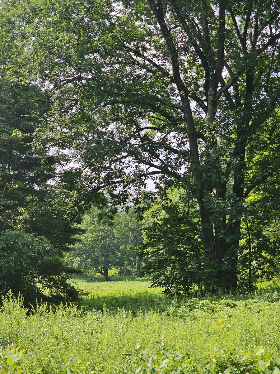
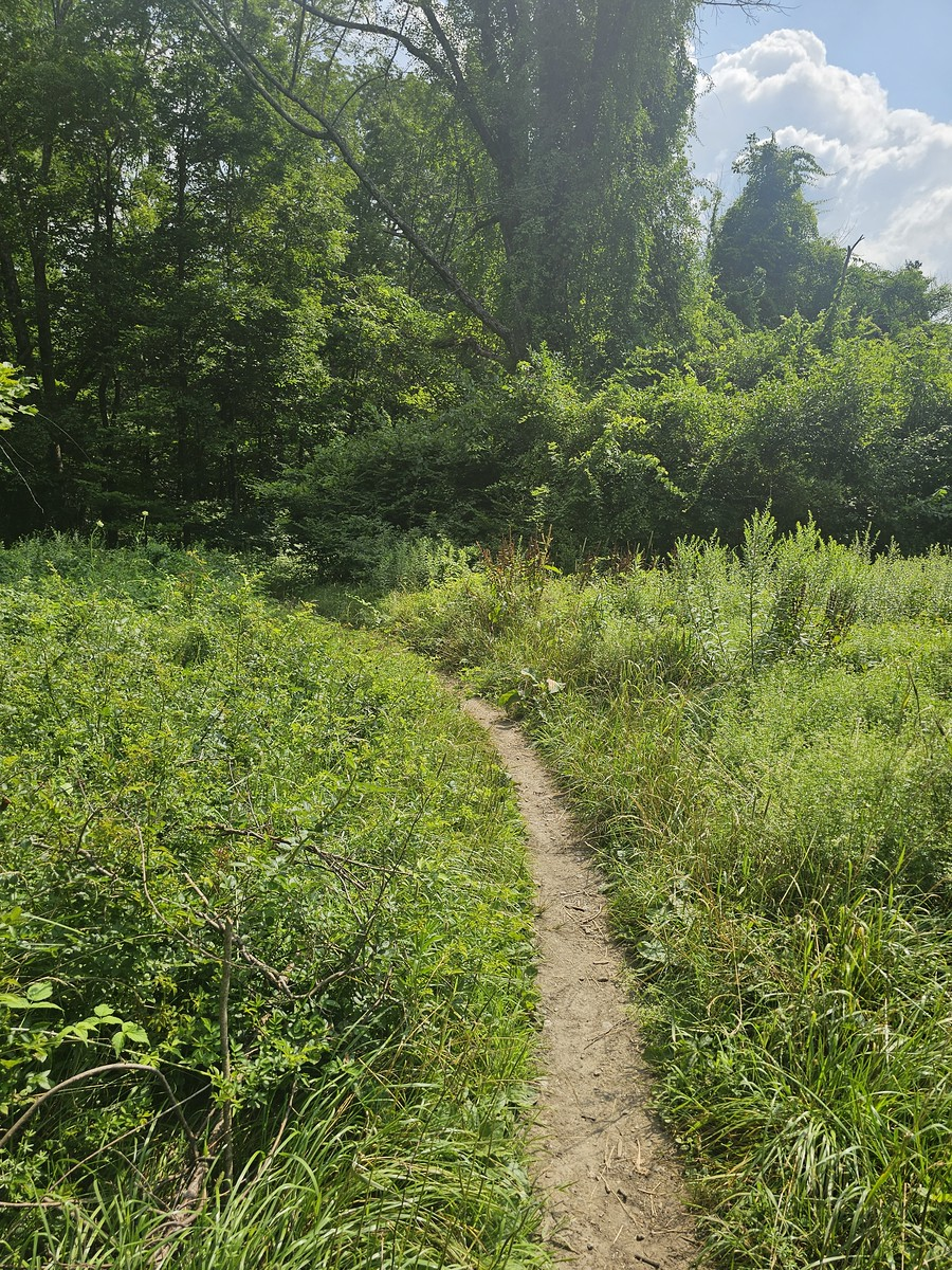
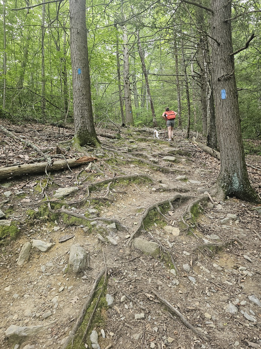
The trail starts off nicely, going through a small field, and then begins to ascend upward. And that’s where you start ascending and ascending and ascending. My sister and I aren’t athletes, but we’re in pretty good shape, and we still had to stop once or twice on the way up just to catch our breath. We also brought my sister’s puppy along – she was a trooper through the whole thing.
Well-Maintained Trails Make All the Difference
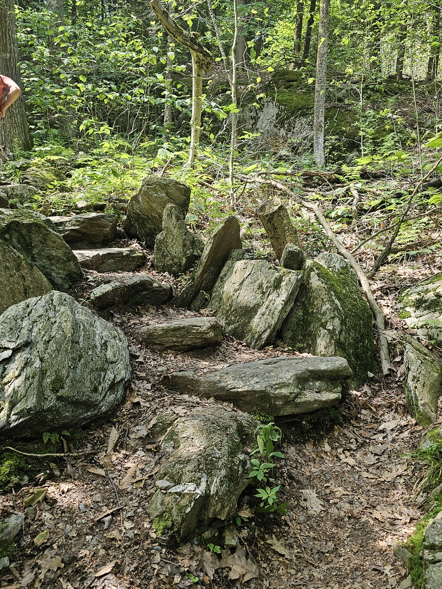
One thing I really appreciate about the trails in Connecticut and Massachusetts is how well they’re maintained. I’ve tried hiking in other places around the world where the trail conditions are questionable at best, but here – especially around the Appalachian Trail – the trails are consistently well-maintained. Race Brook Falls was no exception.
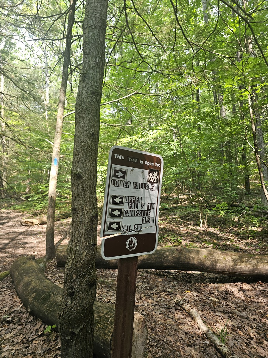
When you start up, you have an option to go right and see the lower waterfalls, which is about a half-mile there and back. We decided to skip that and head straight up the hill to the left, bringing us to our first major stop after about a mile of climbing.
The Main Waterfall: Seasonal Drama
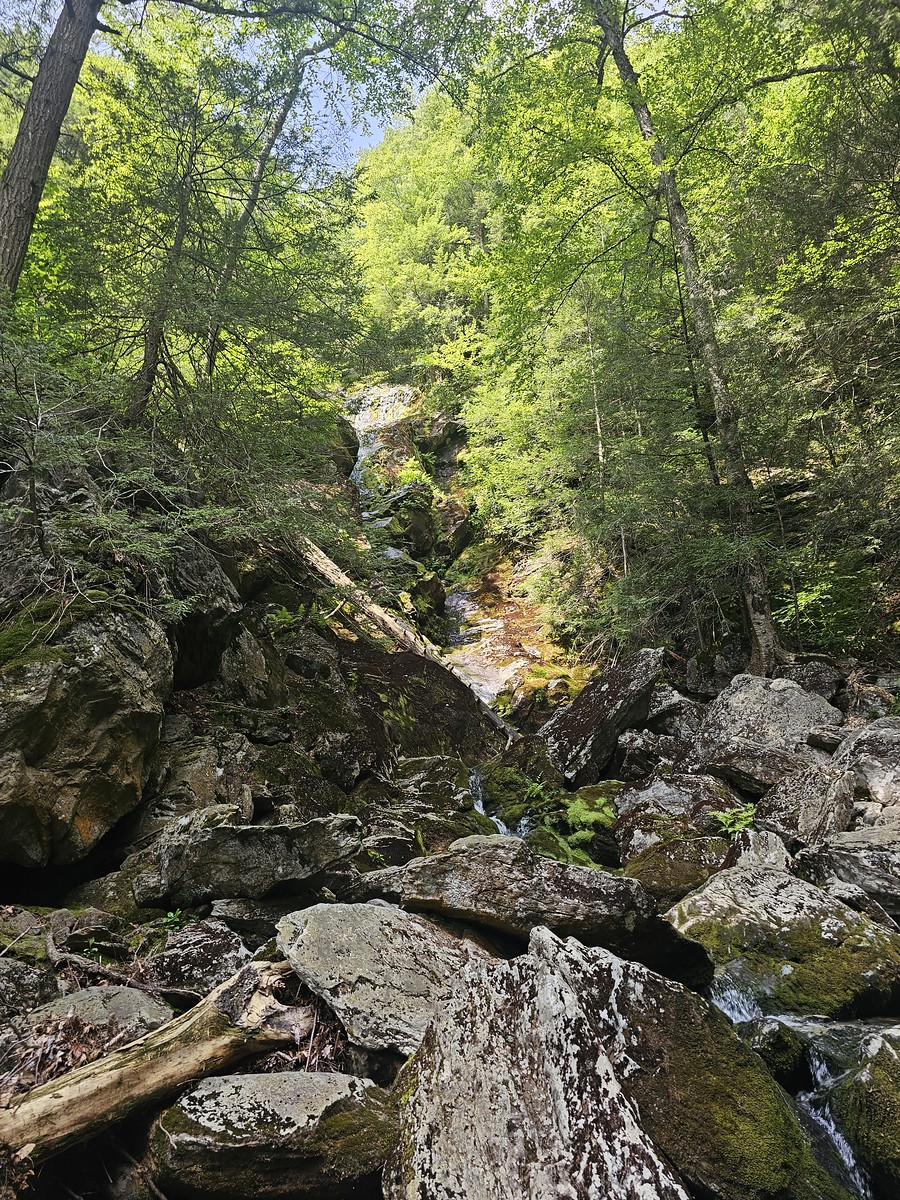
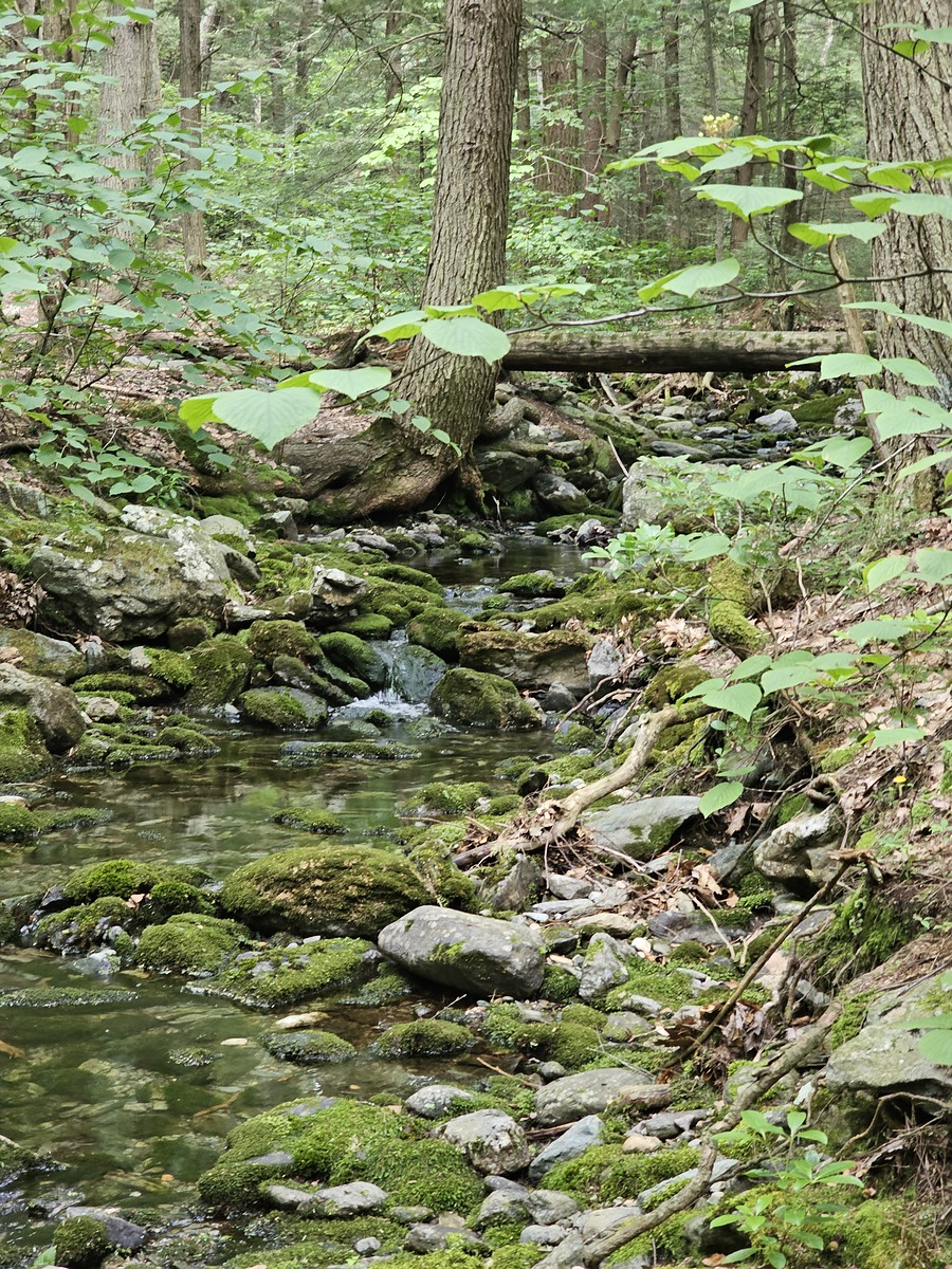
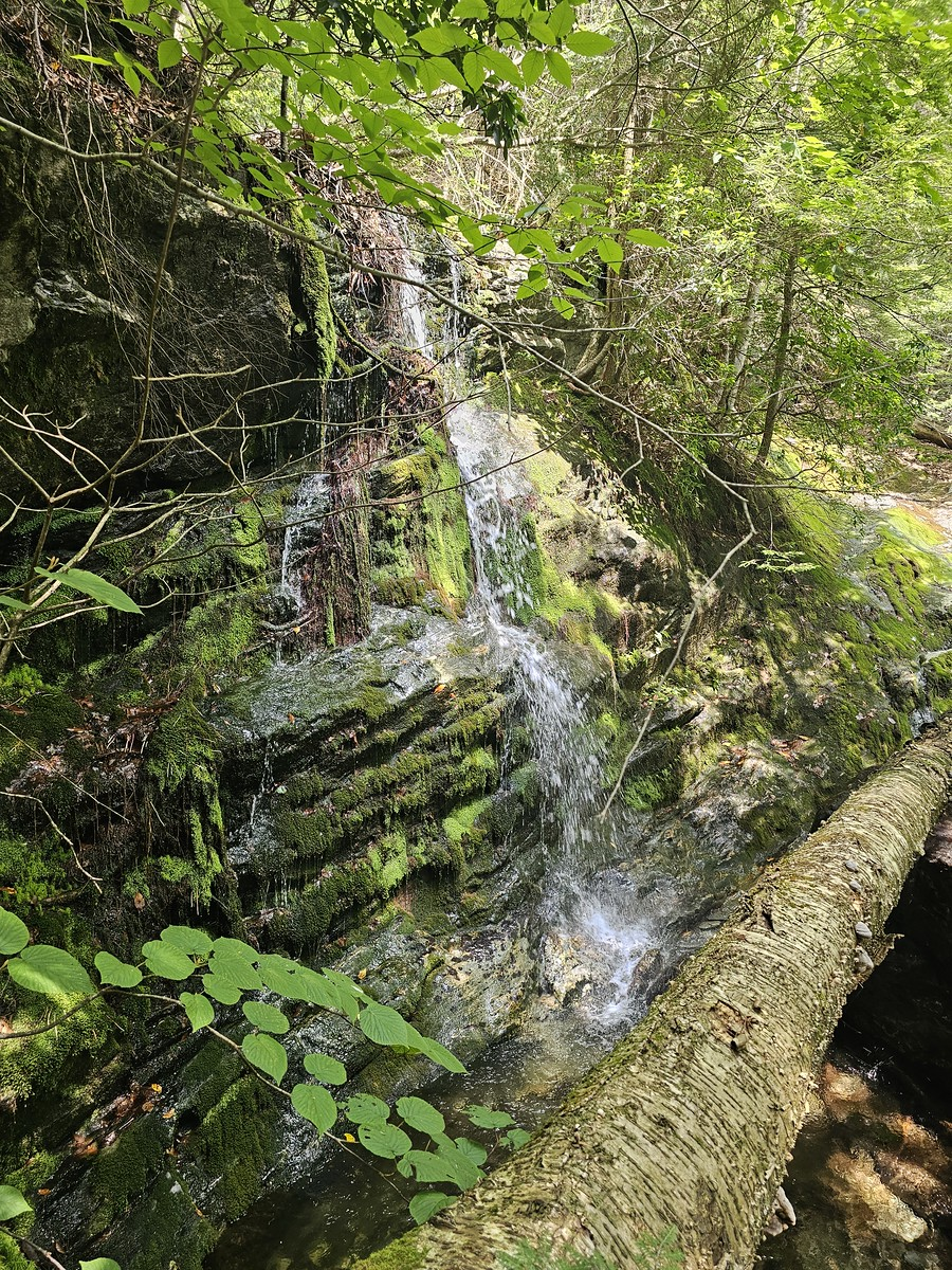
When we reached the main waterfall area, I could see why my sister loves this place. If you come here in spring or early summer, you’ll witness a raging torrent cascading down the rocks. However, in July it was just a gentle trickle from natural springs at the top.
My sister told me she’s hiked here in winter when all the moss-covered rocks hold onto the water and create frozen waterfalls cascading over the hill. I could only imagine how spectacular that must be – I made a mental note to maybe try this in winter if I’m feeling bold enough.

We stopped and sat on a rock for a moment, which is where we faced a decision: continue on the main trail with switchbacks that would add about 2 miles, or take the old, unmarked trail that runs up along the left side of the falls.
Taking the Road Less Traveled (Literally)
Given our hiking history here, we knew about an old trail that’s been overgrown and isn’t really used anymore. It’s not marked, but we knew it was there. We wanted to save some time and we enjoy scrambling over rocks, so we decided to take the old trail to the left.
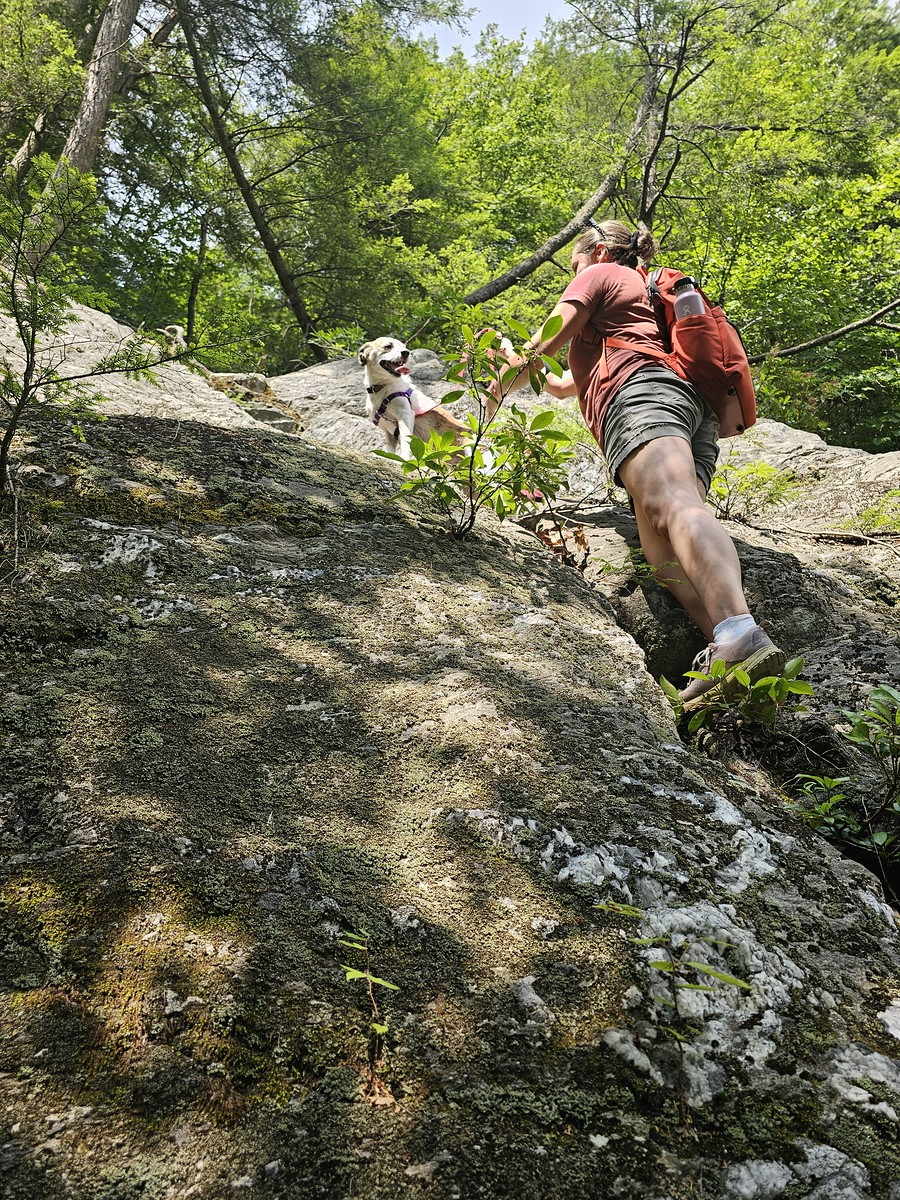
It was a fun adventure going up – there were a couple of points where we had to scramble, but the puppy did well, my sister did well, and I did well. It was a good choice, but definitely if you haven’t been here before, don’t go left. Stay on the main trail and do the switchbacks. We’ve just hiked here enough to know about this little path and how to navigate it safely.
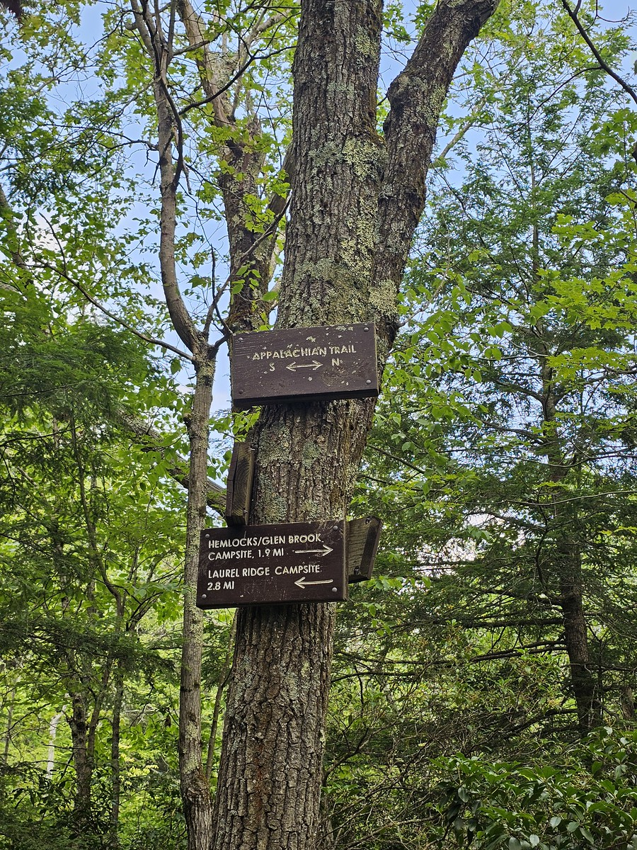
Reaching the Appalachian Trail
After the main waterfall section, the steep incline levels off and the landscape opens up to a nice forest hike through the trees. This is where you reach a small campsite – an off-branch from the AT for through-hikers. There’s a privy, bear lockbox, and wooden platforms for tents. It’s nice to see these amenities provided along the trail.
Continuing up further, you actually hit the AT – the Appalachian Trail that runs from Georgia to Maine. It’s something I’m thinking about doing maybe in 2026, but that’s still in early concept phases. We met another hiker who looked like he was through-hiking and had a pleasant chat before heading on.
We went left and hiked to the top of Mount Race.
The Summit: Reality vs. Expectations
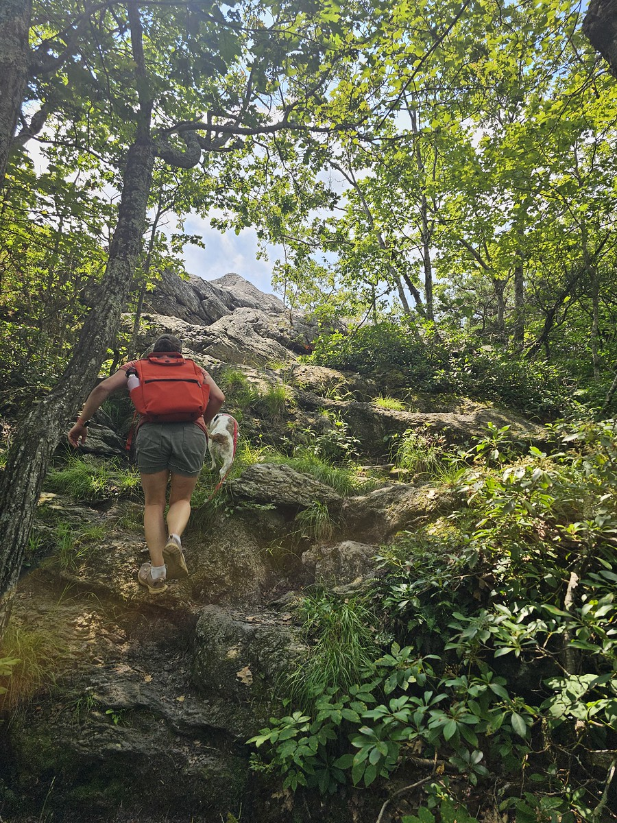
By 12:01 PM, we reached the top, and my watch showed 8,732 steps. The final section along the AT had only very mellow ups and downs with a couple of rocks to scramble over before we reached the summit.
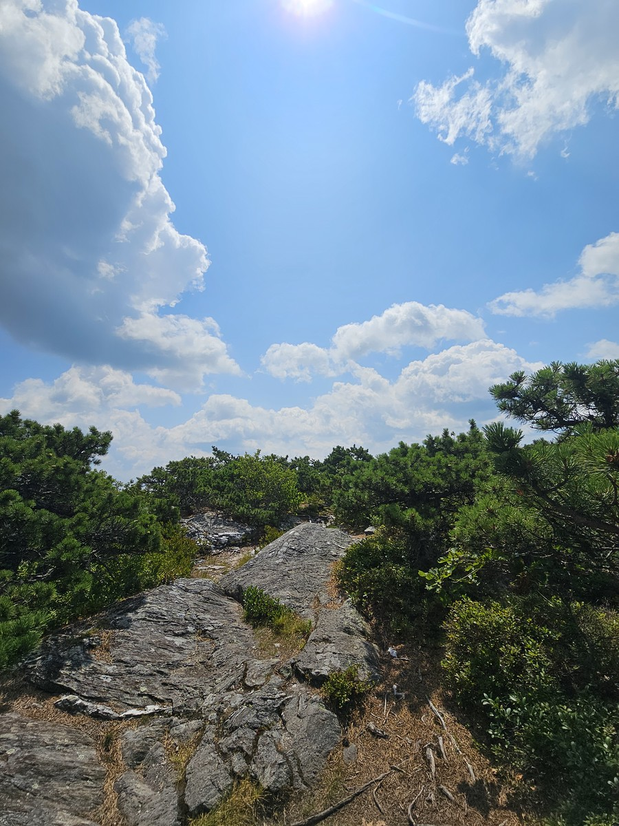
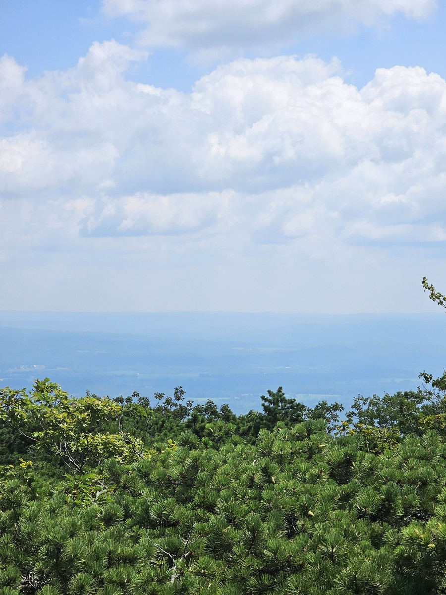
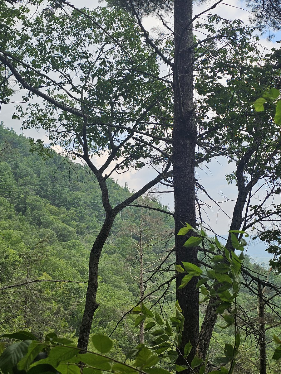
While my sister found the top nice, I thought the view was a little lackluster. When you get to the top, there’s no dramatic cliff to sit on and look out over the valley – it’s more like sitting in a small shrubby area. Still, it was nice to realize you’re at this tall peak and feel the wind. As we got closer to the top, the trees got shorter, which is always how I know I’m reaching higher elevation.

After sitting for maybe 10 minutes, taking photos, and watching another hiker pass by while petting the puppy, I realized my legs were starting to get tired. That’s when I told them the joke’s on me – we have to walk back down.
Race Brook Falls hike, The Descent: Reality Check
Yes, this is always the part I forget – once I reach the top of a mountain, I have to turn around and go back down. It reminds me of when I was a kid snorkeling in Saint John’s. I dove down really deep to see how far I could go, touched the sandy bottom, stood there for a moment, then realized I had to swim back up through maybe 20 feet of water to breathe. I was practically passing out when I reached the surface, but I’m still here today!
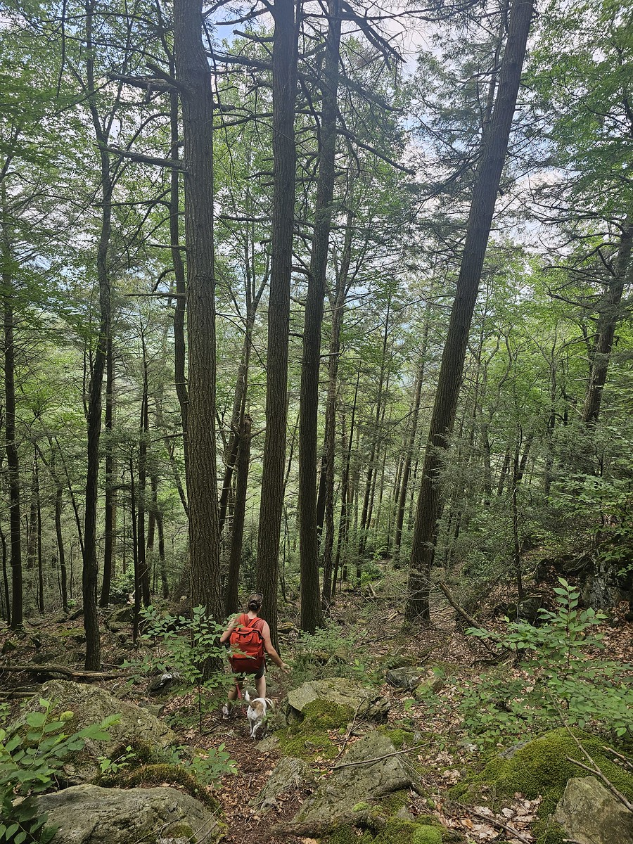
The descent went much quicker than the ascent, with most of it passing fairly rapidly. We decided to take the shortcut down again along the side instead of doing switchbacks.
We met a group of kids who asked us where the waterfall was. My sister and I looked at each other, perplexed, because they had just passed it. I guess they were expecting the really big torrent they see in photos, but summertime is very mellow. They also asked about the elevation change from where we were standing to the top. Again, my sister and I looked at each other – that’s not really information we keep track of, but it was cool that they thought we did.
The Numbers Don’t Lie
The walk down was fun except on the knees – I really started feeling it on the way down. But getting back to the car, going up that little final rise to the truck, and sitting down in a nice fluffy seat, realizing no more walking needed to be done – that was definitely a win.
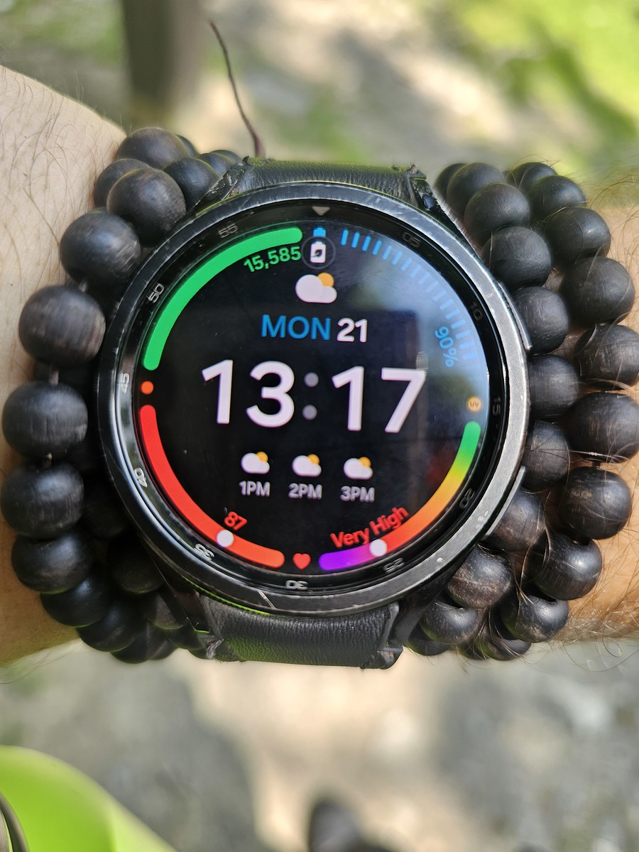
We made it back to the car at 1:17 PM with 15,585 steps on my watch. So in total:
- Duration: 2 hours 55 minutes
- Total Steps: 14,325 steps (from 1,260 to 15,585)
- Ascent Time: 1 hour 39 minutes to the summit
- Descent Time: 1 hour 16 minutes back to the car
Upon getting home, I had a small bite to eat, lay down on the couch, and passed out for at least an hour.
The Verdict: Is Race Brook Falls Hike Worth the Challenge
All in all, I think this Race Brook Falls hike is fantastic. There are many hiking trails in this general area, which is definitely a win for anyone looking to get outside. But again, this is not a hike for the casual hiker or anyone struggling with leg issues. It’s a strenuous hike from the parking lot to the top.
While I wouldn’t call the view on top spectacular, you can still see some nice scenery. I wish there was a raised platform or placard at the summit, but hey, you can’t have everything in life.
Great hike, and I would definitely do it again. Kudos to my little sister for always bringing me out to these really fun places and pushing me to stay active.
Trail Details:
- Location: Race Brook Falls Trailhead, Massachusetts https://maps.app.goo.gl/WhNZMnxCpZARBYCeA
- Difficulty: Moderate to Strenuous
- Distance: Approximately 3.2 miles round trip
- Elevation Gain: Significant (exact numbers vary by source)
- Best Time to Visit: Spring for waterfall flow, summer for weather, winter for frozen falls
What do you think of this hike? Would you tackle those 14,000+ steps for the challenge and the views?
Sometimes the best adventures come from saying “yes” when your sister asks if you want to go hiking – even when you’ve forgotten just how challenging your favorite childhood trails really are.
